

bluff shieldback
Aglaothorax amathitis
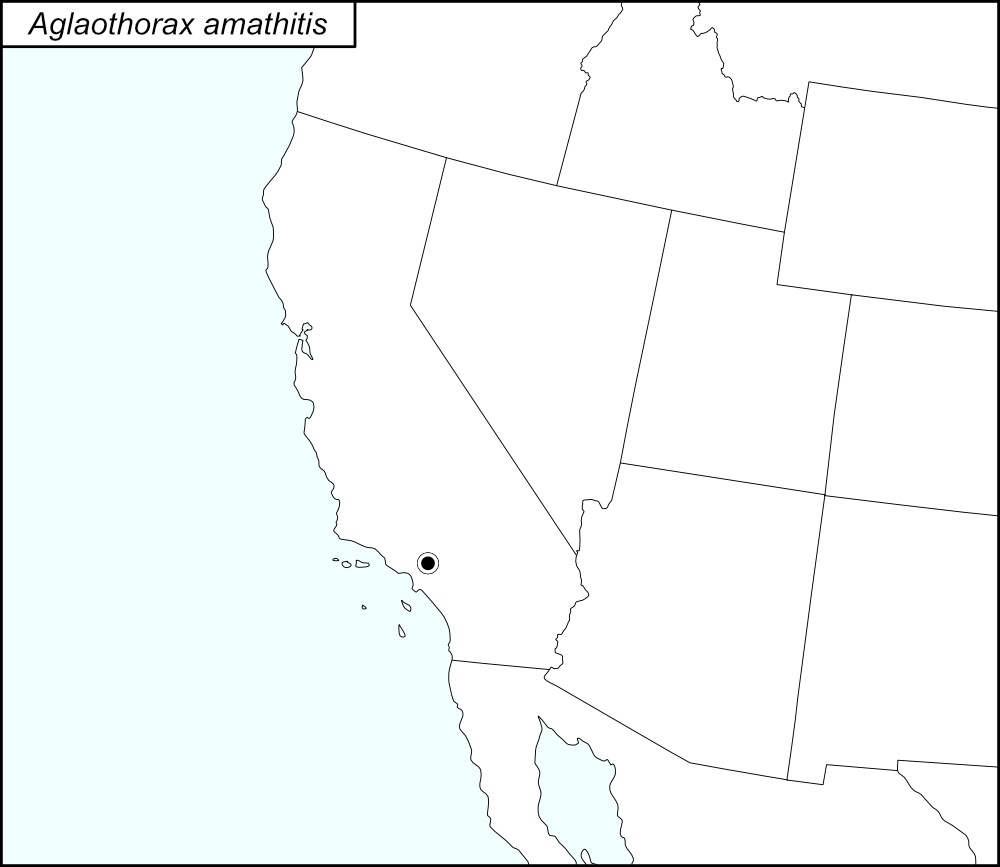

The black dot  on the distribution map represents Los Angeles County, California.
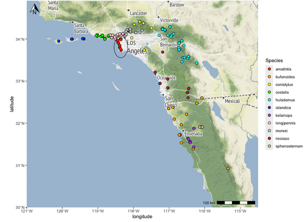
The above map shows the localities for the Morsei Group species from Cole et al. (2025). The red dots (encircled in a black line*) show localities for A. amathitis.
State: California
Los Angeles County: Ballona Wetlands, Playa del Rey.
El Segundo dunes
El Segundo Sand dunes
El Segundo
Kenneth Hahn State Recreation Area, Baldwin Hills
Ladera Linda Park, 12 miles south of I-405 off Western Boulevard
Malaga d une, Rancho Palos Verdes
Rancho Palos Verdes Peninsula, Center 9/11 Memorial
Dockweiler Beach, El Segundo Blue Restoration Area by Imperial and Vista del Mar.
Redondo Beach.
Windsor Hills.
*Line encircling the locality dots was added to the map by the SINA editor (tmy) to help the viewer pick out the dots; this is not an indication of range or distribution.
Summary of Species' SINA Distribution*
Aglaothorax amathitis is found in Los Angeles County, California.
*North America, north of Mexico.
List of United States Regions, States, and Counties
Map of
United States
Regions
Map of United States Regions
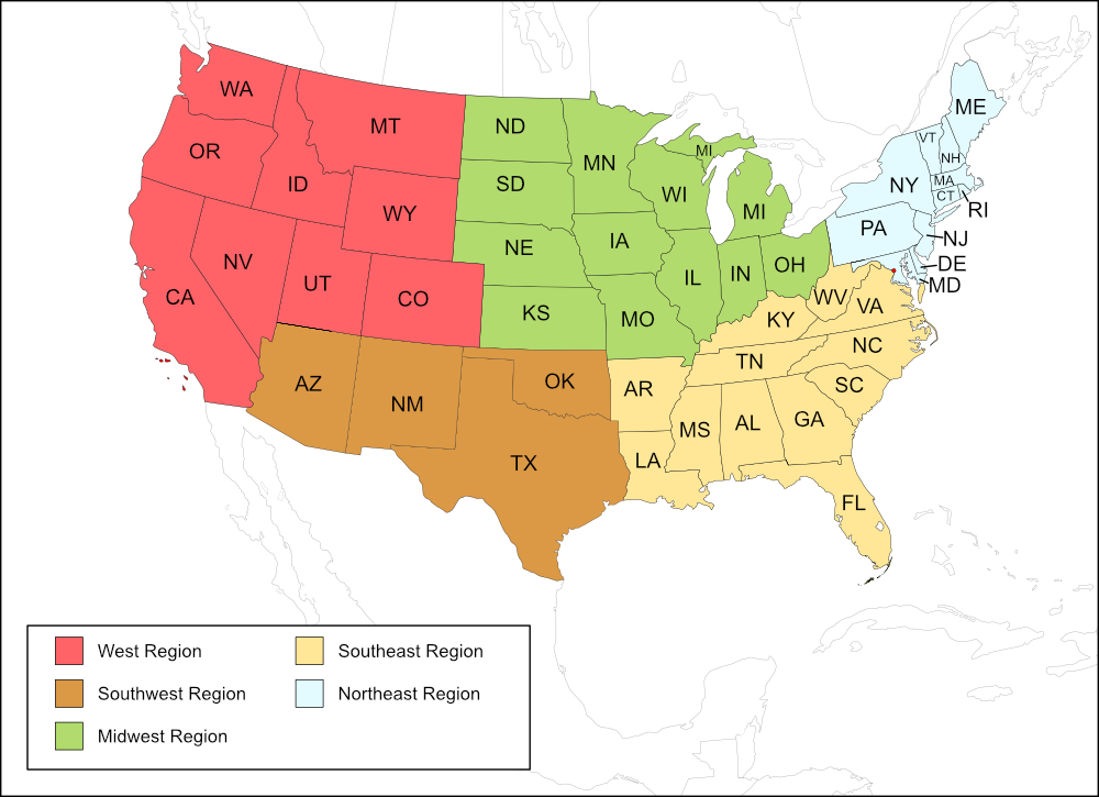
West Region
State: California
Counties: Los Angeles.
Notes
References:
The distribution map on this page is referred to as the 2024 distribution map.
All records are from Cole et al. (2025). [tmy 11 January 2026]