

alluvial shieldback
Aglaothorax conistylus
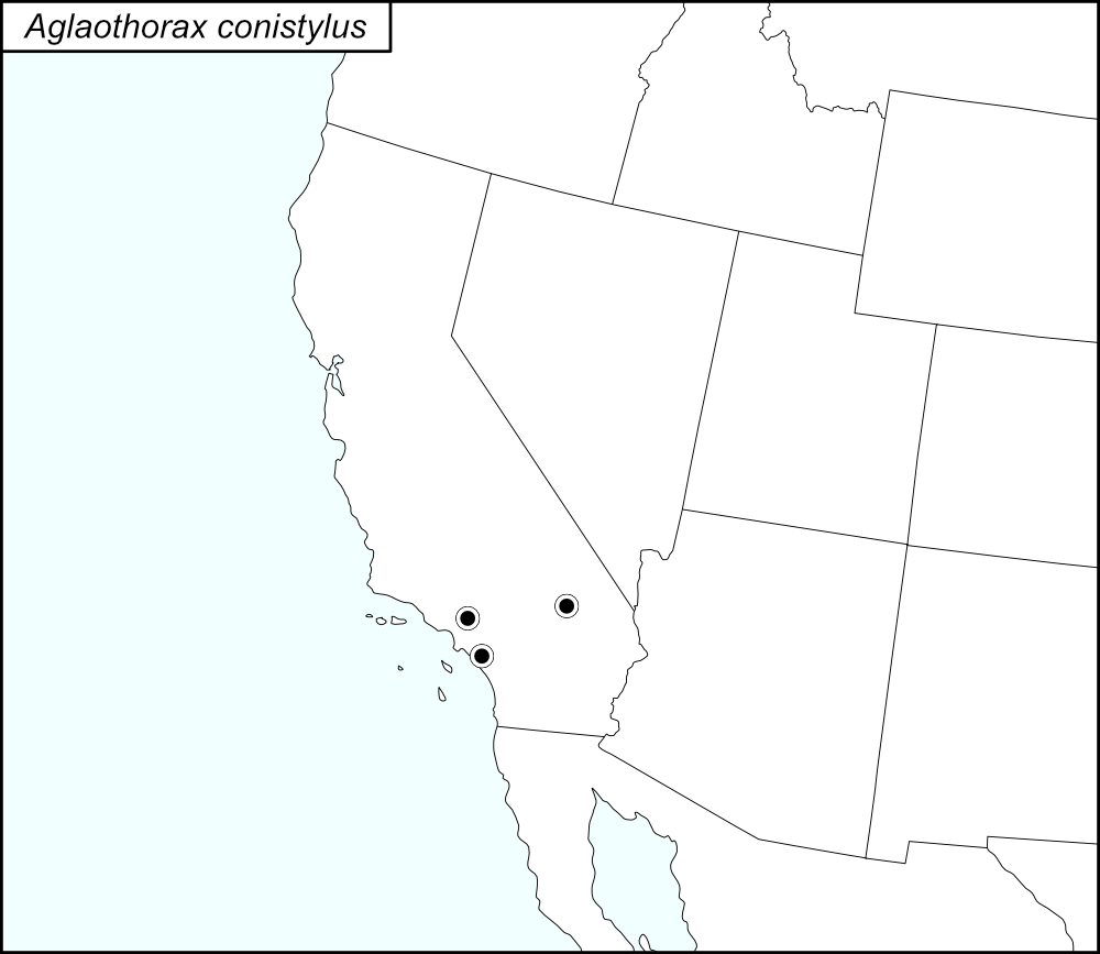

The black dots  on the distribution map represent county records.
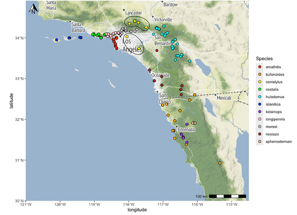
The above map shows the localities for the Morsei Group species from Cole et al. (2025). The yellow dots (two populations, each encircled in a black line*) show localities for A. conistylus.
State: California
Los Angeles County: Sycamore Flat Campground, Angeles National Forest, 12.5 miles northwest of Big Pines off of County Road N4.
Grassy Hollow off SR2, 2.5 miles west of Big Pines, Angeles National Forest.
San Gabriel Mountains, Camp Eaton (=Cumorah Crest) 3 kilometers northeast of Newcomb Ranch.
Rio Hondo near SR60, Whittier Narrows.
Orange County: Junction at Hicks Haul Road, Blue Diamond Haul Road, and Santiago Canyon Road.
San Bernardino County: Applewhite Campground, San Bernardino National Forest.
*Lines encircling the locality dots were added to the map by the SINA editor (tmy) to help the viewer pick out the dots; this is not an indication of range or distribution.
Summary of Species' SINA Distribution*
Aglaothorax conistylus is found in southern California.
*North America, north of Mexico.
List of United States Regions, States, and Counties
Map of
United States
Regions
Map of United States Regions
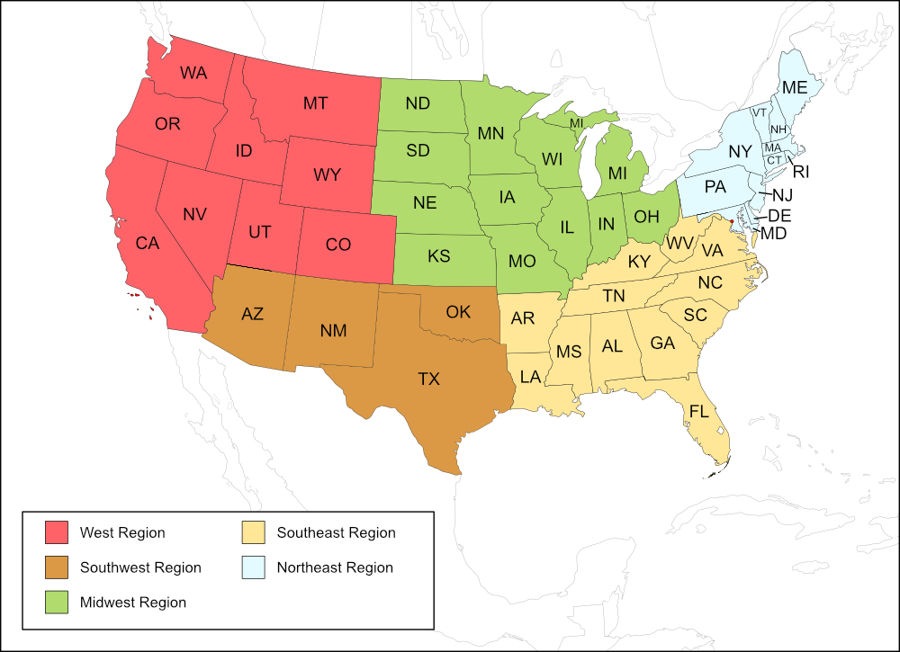
West Region
State: California
Counties: Los Angeles, Orange, San Bernardino.
Notes
References:
The distribution map on this page is referred to as the 2024 distribution map.
All records are from Cole et al. (2025). [tmy 11 January 2026]