

clawed shieldback
Aglaothorax dactyla
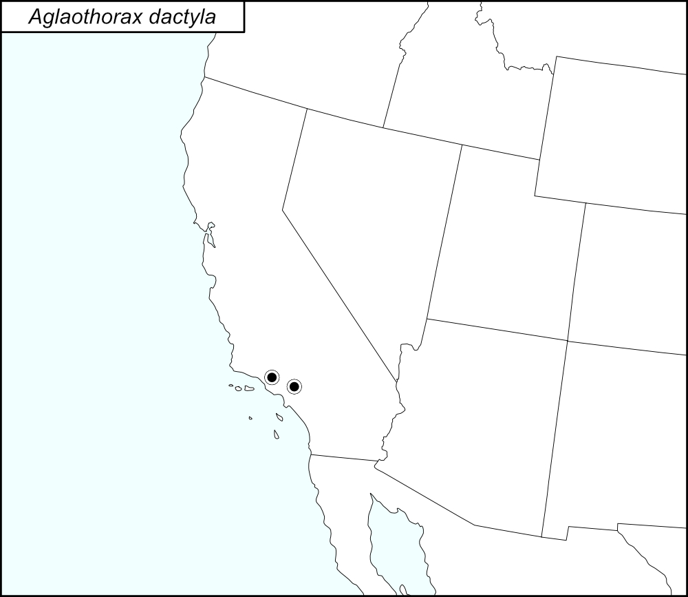

The black dots  on the distribution map represent county records.
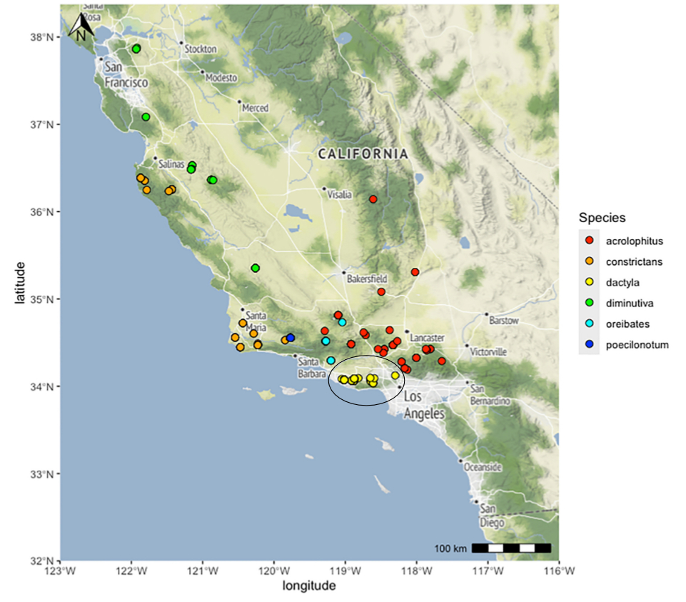
The above map shows the localities for the Diminutiva Group species from Cole et al. (2025). The yellow dots (encircled in a black line*) show localities for A. dactyla.
State: California
Los Angeles County:
Junction of State Highway 23S and Mulholland Highway.
Big Rock Canyon Road, 0.4 miles north of Pacific Coast Highway in Malibu.
California Highway 23 and Mulholland Highway.
Malibu, Eino’s, corner of Mulholland and Decker.
SR23S and Mulholland Highway.
Malibu, Big Rock Canyon Road at Rockport.
Malibu, at the intersection of Big Rock and Inland Roads.
Backbone Trailhead, at the junction of Stunt, Schueren, and Saddle Peak Roads.
Calamigos Ranch.
Charmlee County Park.
Charmlee Wilderness Park, 3.8 miles north of SR1 on Encinal Canyon Road.
Griffith Park, Mount Hollywood Trail.
Junction of Big Rock drive and SR1.
Junction of Las Flores Canyon Road and Schueren Road.
Junction of Las Flores Road and Gorge Road.
Leo Carrillo State Park, Nicholas Flat, at end of Decker School Road.
Topanga State Park, Dead Horse Trail.
UCLA Stunt Ranch Santa Monica Mountains Reserve.
Ventura County:
Point Mugu State Beach dune area.
Point Mugu State Park, Sycamore Canyon.
*Line encircling the locality dots was added to the map by the SINA editor (tmy) to help the viewer pick out the dots; this is not an indication of range or distribution.
Summary of Species' SINA Distribution*
Aglaothorax dactyla is found in the Santa Monica Mountains in California.
*North America, north of Mexico.
List of United States Regions, States, and Counties
Map of
United States
Regions
Map of United States Regions
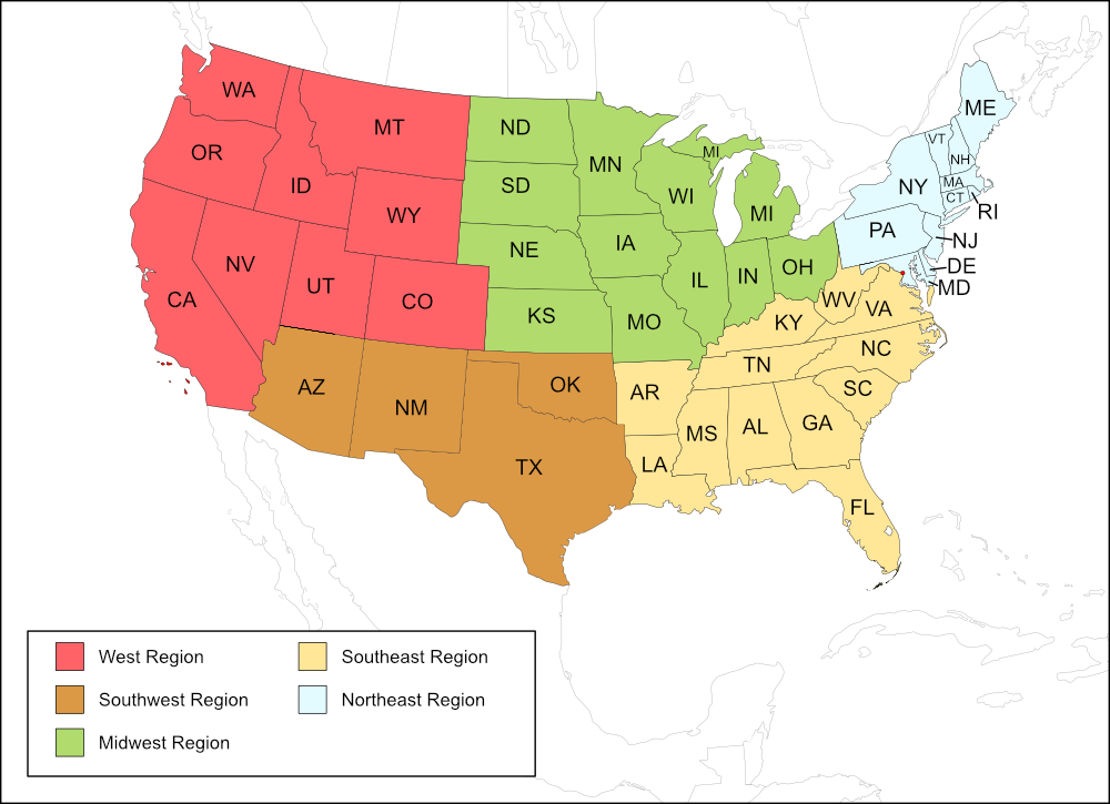
West Region
State: California
Counties: Los Angeles, Ventura.
Notes
References:
The distribution map on this page is referred to as the 2024 distribution map.
All records are from Cole et al. (2025). [tmy 11 January 2026]